Making Open Data Work for Planners: Lessons from Inside Ratio.City
Urban planning is a complex puzzle. Data is what helps connect the pieces.
Who I Am and Why I’m Writing This
I’m Jagrat, a planning intern at Ratio.City and an Urban Studies student in the final stretch of my degree. Over the past few months, I’ve been working closely with the Data Team on everything from auditing municipal datasets to testing how information flows through the platform. This post is a reflection on what I learned from working inside a digital planning environment.
What Open Data Is and Why Planners Rely on It
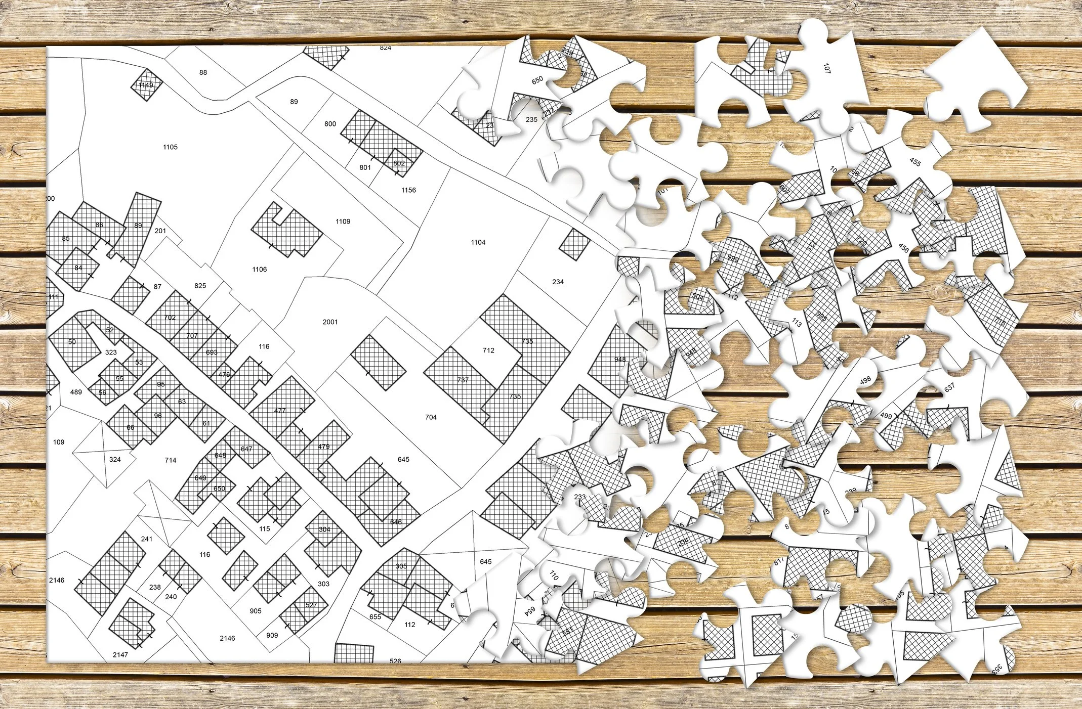
Open data has become one of the buzzwords of modern-day urban planning. When governments make their data publicly available, it can support more transparent decision-making, improve the efficiency of work, and even spark new forms of civic and economic innovation. A definition of Open Data I like is this definition from the city of Toronto: Open Data is digital data that is made available to be freely used, reused, and redistributed by anyone, anytime and anywhere. Canadian municipalities have been taking this idea to heart, with ESRI Canada reporting that over 150 Canadian municipalities have active open data portals. Cities across Canada now publish everything from zoning maps to development pipelines in the name of transparency and accountability.
Why Open Data Isn’t Always Usable (and How Ratio.City Helps)
But even with all this progress, there’s a major issue hiding in plain sight: data accessibility doesn’t always mean data usability. A lot of open data is still scattered across multiple municipal websites, each with different formats, naming conventions, and update schedules. Another big insight? Even when data is “open,” it’s not always usable. Some municipalities publish zoning as a PDF, others as a GeoJSON, others as a WMS service buried three menus deep. Naming conventions vary wildly. Update cycles aren’t always clear. And for more rural municipalities, you’ll often get more environmental or agricultural layers from the province than from the municipality itself This is where Ratio.City steps in. The platform pulls together open data from different municipalities and presents it in a consistent, interactive interface that planners, developers, and even non-technical users can navigate. It’s especially powerful for housing and development applications, where having current, accurate information is essential.
This is where Ratio.City creates real value:
it centralizes scattered data
standardizes it across municipalities
fixes inconsistencies
adds context
and makes everything visual and interactive
Most planners only ever see the finished product: a clean map layer, a nicely structured zoning category, a massing model that loads instantly. What I didn’t realize until I started here is how much invisible work goes into making that happen.
A big part of my internship so far has involved working through a very large data audit of all the information available on Ratio.City. Checking source links, confirming update cycles, validating APIs, spotting outdated layers, and flagging datasets that needed manual fixes. And let me tell you, data auditing is a lot of work. Even something simple like confirming parcel boundaries can turn into a detective mission if a municipality has shifted portals, renamed layers, or changed data schemas. Sometimes the data was clean and easy to integrate into the platform. Other times, the team had to step in manually and clean the data. One of my favourite examples came from a request developers made: they wanted councillor names and links directly on a property profile, because it helped streamline due diligence. But the information wasn’t available anywhere in a ready-to-use format, meaning someone had to manually create and maintain that layer in ArcGIS. It’s the kind of tedious, unglamorous job no one notices but that saves planners hours.
The more time I spent inside the platform, the more I realized: Ratio.City’s value isn’t just the data → it’s the translation. It takes fragmented information and turns it into something community planners and developers can actually use.
Beyond Aggregation: Where Planning and GIS Meet
What’s interesting is that the platform is starting to solve another problem beyond data aggregation. Designed to help real estate developers and community planners talk to each other it is also helping two other groups of people communicate. One thing I heard again and again at Ratio.City was that planners and GIS specialists “don’t always speak the same language.” Planners usually know ‘what’ they want to find out, but not always ‘how’ to work with open data. GIS experts understand the technical side but aren’t always involved in everyday planning decisions. So a gap forms. But, by centralizing data and making it intuitive to explore, Ratio.City has ended up fostering discussion. It’s a bit of a happy accident. More than one person has jokingly (or not so jokingly) called it “GIS for non-GIS users,” and after my time here, I completely get why.
One very insightful moment was speaking with Sibeal McCourt, the Data Manager at Ratio.City who has worked in planning, GIS, and digital product development. Our conversation helped cement what I had been beginning to understand, that open data is only powerful when someone makes it interpretable. She explained that planners often know their goals, which may involve testing development feasibility, understanding constraints, and evaluating parcels, but they may not have the technical background to wrangle with raw data. Meanwhile, GIS teams might not be involved in the decision-making side. Ratio.City, almost unintentionally, became a middle space where both worlds meet.
Sibeal also reminded me that behind every clean interface is a huge amount of quality control. Bad data can have real impacts, not just for analysis but for things like emergency services and public safety. Seeing the team’s process made me appreciate accuracy in a way I hadn’t before.
Her most significant point, the one that really stuck with me, is that planning is becoming a hybrid field. Planners don’t need to become GIS experts, but they do need tools that help them understand spatial information confidently. Ratio.City is not meant to teach planners technical workflows. Instead, it acts as an easy-to-use, GIS-powered tool that places spatial insights directly into the hands of planners who might not have the time or training to navigate complex software. It lowers the technical barrier so planners can focus on the actual planning questions rather than struggling with data processing. That idea of a shared language is something I’ll carry with me long after this internship.
What This Experience Taught Me About Open Data
Spending time inside Ratio.City has made one thing clear: open data only becomes valuable when it’s transformed into something people can actually use.
But accessibility isn’t just a technical problem; it’s also a design problem. In my conversation with Sibeal, she emphasized that planners aren’t just looking for raw data. They’re looking for meaning. That gap is bridged not through sheer volume of information but through thoughtful design, interpretation, and collaboration with users. This has broader implications for the planning field. As cities move toward “smart city” models and deeper forms of digital governance, data literacy becomes foundational. Transparent workflows, cross-municipal consistency, and accessible tools don’t just support professional decision-making but also strengthen civic engagement and public trust. Open data should serve both the public good and the practical needs of the people shaping the city every day.
If there’s one takeaway from my experience, it’s that the power of open data comes from how it’s translated: clean datasets, clear interfaces, and collaborative relationships all matter. Ratio.City sits at the intersection of these pieces. And as Canadian cities continue to invest in open data ecosystems, platforms like Ratio.City have the potential to help build a more connected, transparent, and data-driven planning culture, one where information doesn’t just exist, but truly informs.