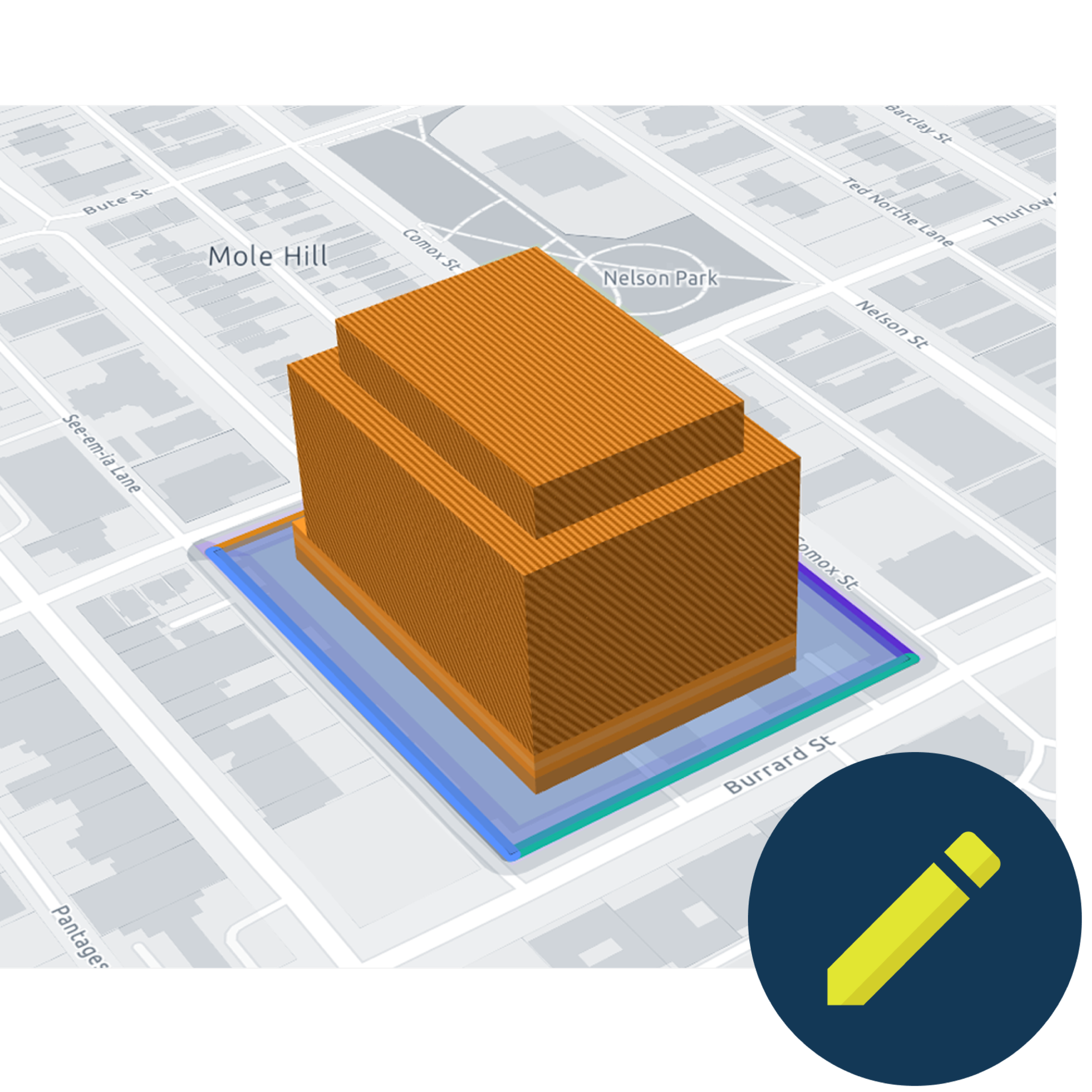
Empowering your planning and housing decisions
For developers, architects, and planners, we provide a comprehensive platform tailored to your needs. Access the data you require for informed decisions and accelerated housing development.
Uncover hidden potential
Easily compare parcel and policy data in just a few clicks.
Pinpoint opportunities
Quickly find and assess sites based on specific criteria.
Assess site potential
Model scenarios to understand opportunity and review potential impacts on context.

Putting Canadian cities on the map
We’ve aggregated more than 1,000 layers of geospatial datasets for cities across Canada including the Greater Toronto Area (GTA), Vancouver, Kelowna, Calgary, Halifax, Montreal, Sherbrooke, Ottawa and more.
Don’t see your area?
No problem. Ratio.City is built to expand quickly, helping professionals get the insights they need faster.
Book a call and let us know the area you’re interested in and we’ll make sure it’s covered.
Who do we help?
Trusted by city builders









See Ratio.City in action
Every great project starts with a clear vision. With Ratio.City, you can find underutilized sites, access the latest zoning data, and collaborate with your team, all in one place.
Watch the demo to see how planners, developers, and city builders use Ratio.City to move projects from concept to reality.
How Ratio.City empowers planners, developers, and city builders

700+ users across Canada manage their projects with Ratio.City
"Ratio.City has been a great tool for our company. The platform has helped us streamline our due diligence process and preliminary planning research. It provides the opportunity to model scenarios and analyze the highest and best use for potential development sites; eliminating the need to engage an architect for a simple block massing in the early exploratory stages. This has saved us a significant amount of time."
Development Planner
Rockport Group
"The Ratio.City tools are a terrific way to evaluate sites, both from a preliminary assessment of what you can fit and determining what can be approved. Up until Ratio.City, there wasn't a single portal that would give you all the information that may apply to a site. All the relevant information is synthesized, put on a map and easy to access."
Digital Practice Director
SvN Architects + Planners

Ready to try it for yourself?
Create a free account to see our tools in action.
No credit card required.
See it in action
If you’d like to learn more about our platform, contact our team for a demo today.


