USE CASE - MUNICIPALITIES & PUBLIC AGENCIES
Centralize land data.
Streamline analysis.
Accelerate housing delivery.
Bring fragmented datasets, planning policies, and city assets into one secure workspace — so your team can find opportunities faster and collaborate without the friction.
- ISO-certified secure data environment
- Public and private data layers in one platform
- Saves weeks of manual analysis per project
- Seamless cross-department collaboration
City assets centralized
City divisions consolidated into one view
of time saved
Data control — private and public layers
Municipal teams using Ratio.City significantly reduce site analysis and review time.
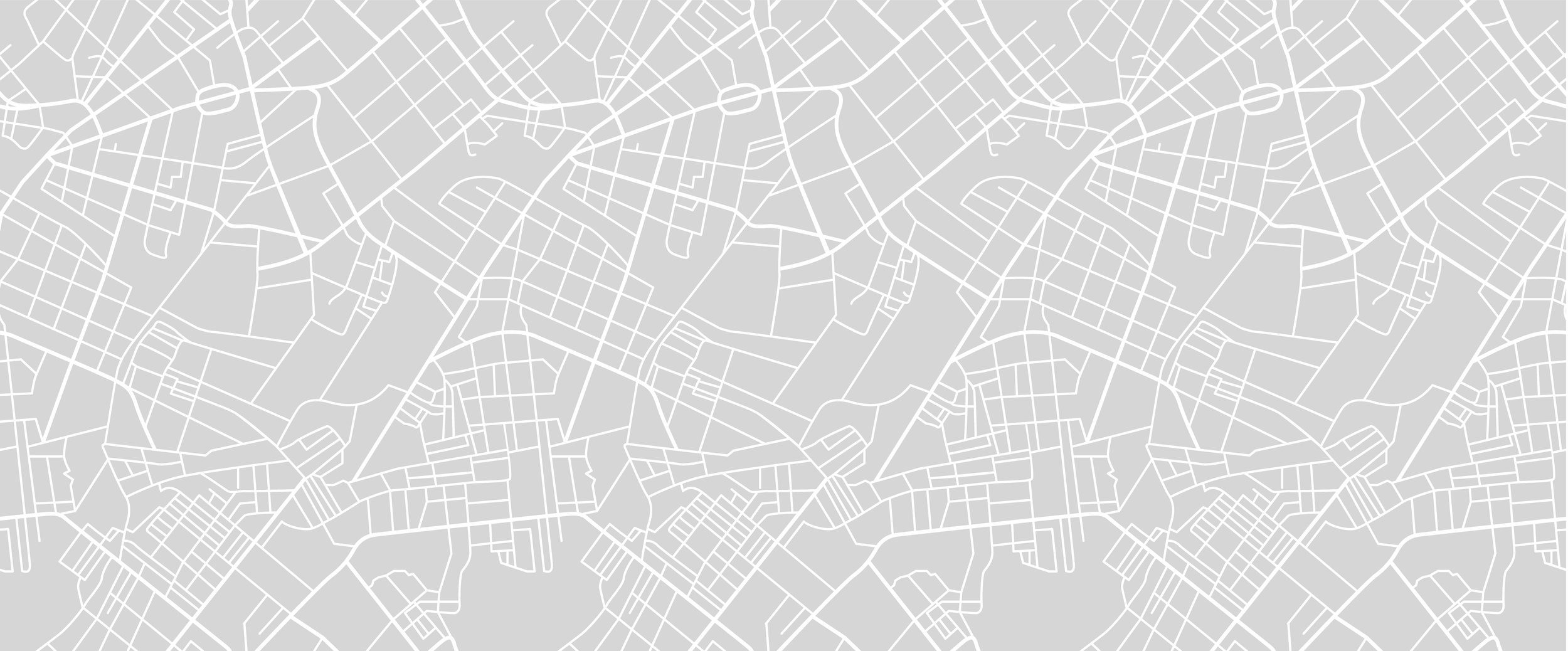
Fragmented data is slowing housing delivery
THE CHALLENGE
Cities manage land and infrastructure data across dozens of departments, systems, and formats. The result: duplicated work, missed opportunities, and analysis that takes months instead of days.
Every week of delay is a week housing isn't being built.
One workspace for all your data
THE PLATFORM
Ratio.City lets municipalities and public agencies consolidate internal datasets, public information, and planning policies — with full control over what stays private, what gets shared, and who has access.

USE CASE
How CreateTO centralized Toronto's entire real estate portfolio
CreateTO manages Toronto's real estate portfolio. That means overseeing more than 8,000 properties, previously spread across 24 city divisions, agencies, and corporations, each with their own systems, formats, and ways of doing things.
The data existed. It just wasn't usable. Fragmented across departments, inconsistent in format, and nearly impossible to synthesize at the scale their mandate required.
That mandate was clear: identify underutilized city land and deliver 10,000 affordable housing units through the Housing Now program. The bottleneck wasn't ambition. It was access to the right information, in one place, at the right time.
Ratio.City provided the solutions. The team brought together land registry records, planning policies, zoning data, and transit layers into a single workspace. Instead of chasing down data across departments, they could finally see the full picture, and start acting on it.
It became easier to identify under-utilized assets, the right parcels to build more housing and to create stronger communities.
IMPACT
What changed for CreateTO?
Interested in seeing this with your data?
SECURITY & DATA CONTROL
Built for the sensitivity of public-sector data
Municipalities handle sensitive data that can't be exposed. Ratio.City was designed with that in mind — giving you complete control over what's private, what's shared, and who can see what.
Private data stays private
Host internal datasets in a secure, ISO-certified environment
Granular layer controls
Share specific data layers internally or with partner agencies without exposing everything
Connected to source
All data remains linked to its original source — no orphaned records
Scalable as you grow
Add new datasets and departments as your needs evolve
ISO
Certified Security
Enterprise-grade data protection for municipal and public agency environments
Ready to see it?
See how your city could centralize its data
Bring land registry data, zoning, planning policies, and infrastructure layers together in one platform. Identify opportunities faster and better support housing delivery.
Typical demos last 20 minutes · No commitment required